Home Prev Next <info@primetab.com> Best viewed full screen
|
|
|
|
| Elma, WA | Elma, WA | Willipa Harbor, WA | Willipa Harbor, WA |
|
|
|
|
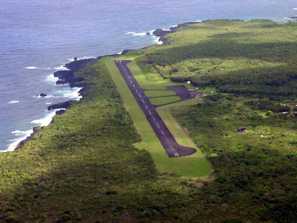
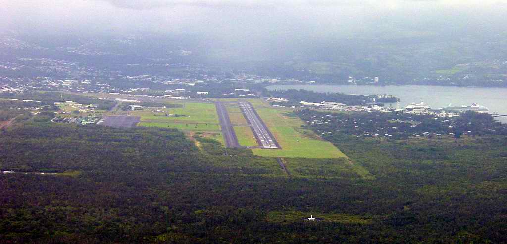
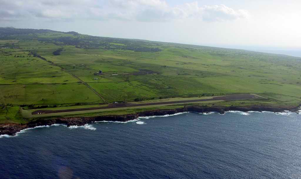
| Hana, HI | Hana, HI | HIlo, HI | Upolu, HI |
|
|
|
|
| Upolu, HI | Sunnyside, WA | Prosser, WA | Ranger Creek, WA |
|
|||
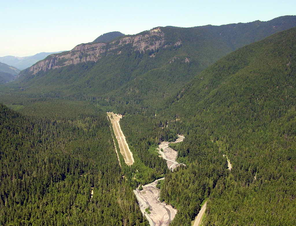
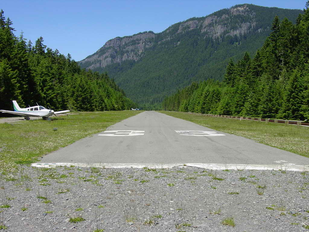
| Ranger Creek, WA |
|
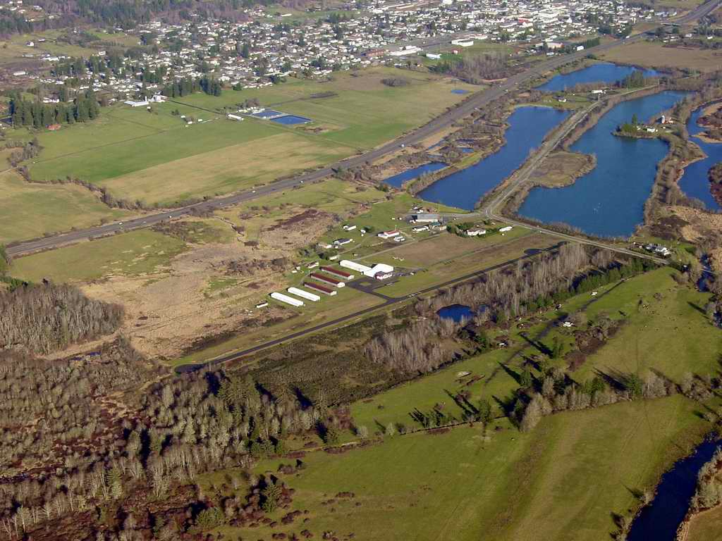
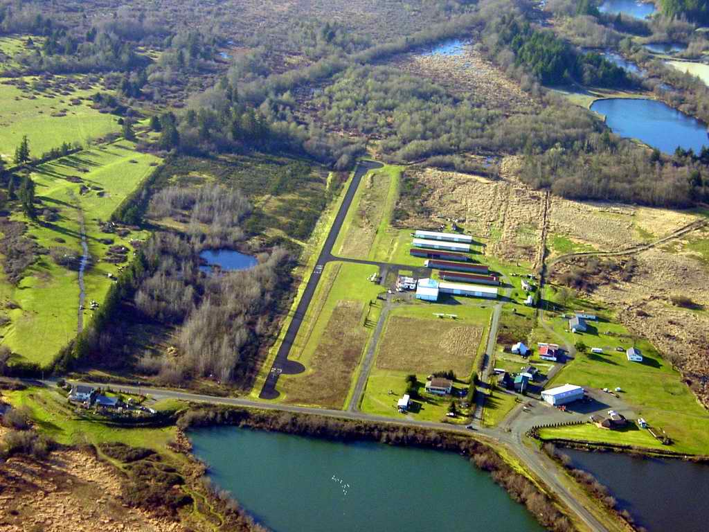
Nice little field. Restaurant on the north side of the runway. The airport is between the cooling towers of the defunct, never-completed WHOOPS Satsop nuclear power plant and the city of Elma. Huge flocks of geese can inhabit the area, so beware on takeoff and landing. The City of Elma, incorporated on March 22, 1888, lies within the Chehalis River Valley in Eastern Grays Harbor County, about 30 miles West of Olympia and 40 miles East of the Pacific coast with a population of about 3500. |
|---|---|
|
Another closer view of Elma airport looking west. |
|
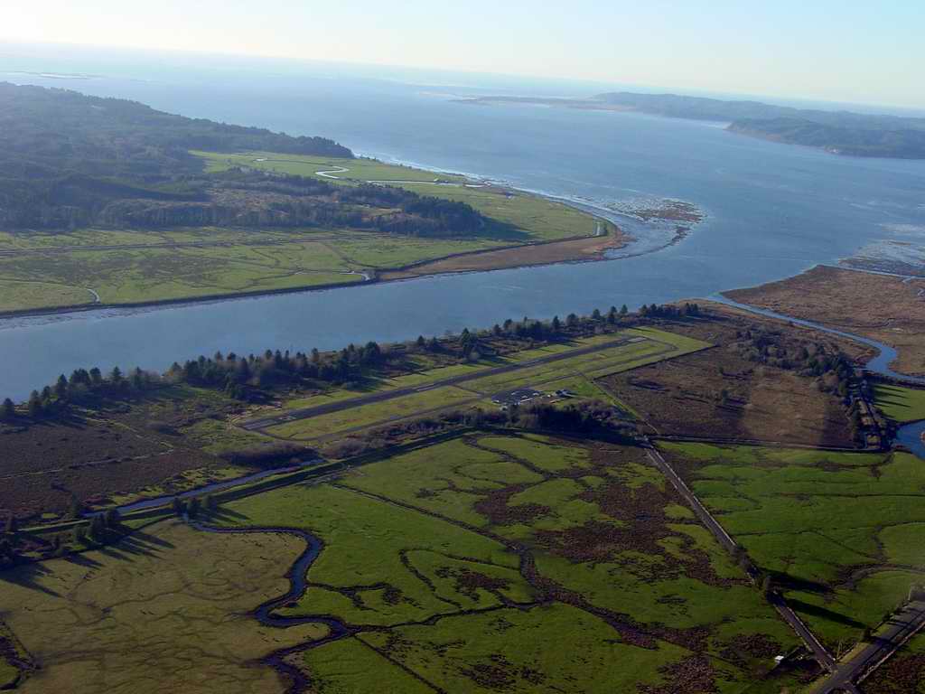
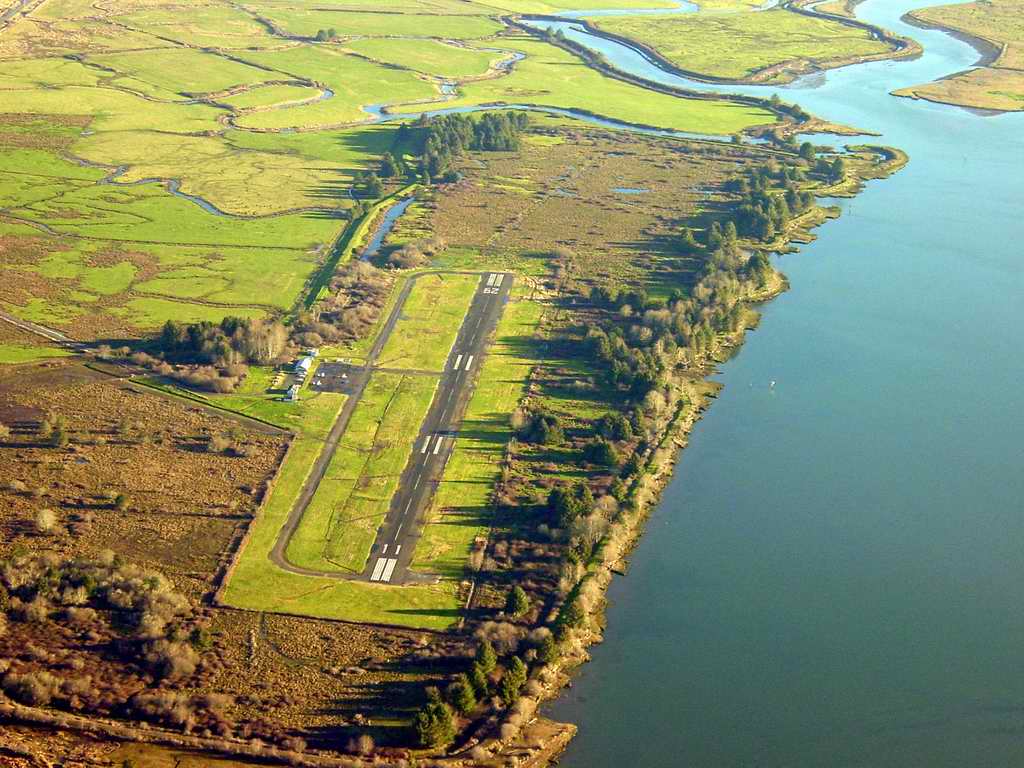
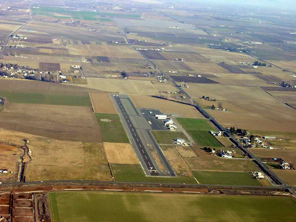
To the southeast along the Willipa River is the town of Southbend. Around a bend and another mile upstream is the town of Raymond. Willipa Bay is in the background. Willapa Bay oyster production is the area�s most historically successful industry that remains a West Coast leader and tops the $20 million mark in annual product value, jobs, and other contributions to the local economy. Today, four major companies and up to 30 smaller oyster growers own approximately 26,000 acres of the bay�s shallow tidelands, considered to be among the most pristine and productive estuaries in North America. |
|---|---|
|
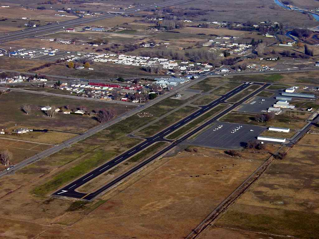
In 1928 a territorial battle developed between Willapa Harbor and Ilwaco for port districts. Willapa Harbor residents formed their own port district in Raymond and South Bend. In the early 1930s construction of port dock and terminal buildings was completed. The port became home of the West Coast Longshore Union Local 1, the first longshoremen�s union established on the West Coast.For the next 50 years, ships steamed up the Willapa River to load cargo at the dock in Raymond that was then carried to ports around the world. However, with changing market conditions and environmental restrictions on timber harvest in the 1970s the last log ship to visit the Port sailed downriver in 1978. The port acquired and diked land for construction of Pacific County Airport, dedicated Sept. 14, 1949 to become a general aviation airport. |
|
|
|---|---|
|
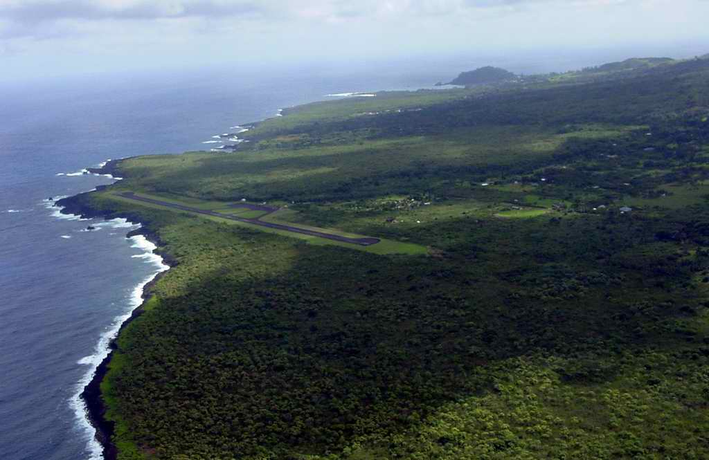
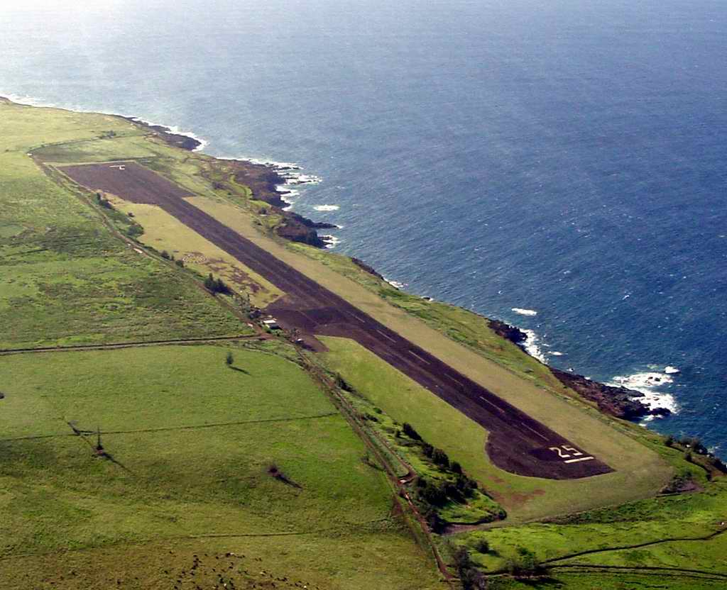
Hana looking west. |
|
|
|---|
|
|
|---|---|
|
|
|
|
|---|
|
|
|---|
|
|
|---|
|
|
|---|
|
|
| Caption |
|
|
| Caption |
|
|
| Caption |
|
|
| Caption |
|
|
| Caption |
|
|
| Caption |
|
|
| Caption |
|
|
| Caption |
|
|
| Caption |